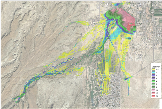
Hydraulic Analysis of Spring Canyon Creek using HEC-RAS 2D, Thatcher, AZ, Graham County
HEC-RAS 2D modeling of Spring Canyon Creek and the area near Fye Creek Dam was conducted to determine the flood depth and identify lands that are potentially outside of FEMA’s base flood. The study area was approximately 1300 acres and was modeled with the U.S. Army Corps of Engineer’s HEC-RAS software.
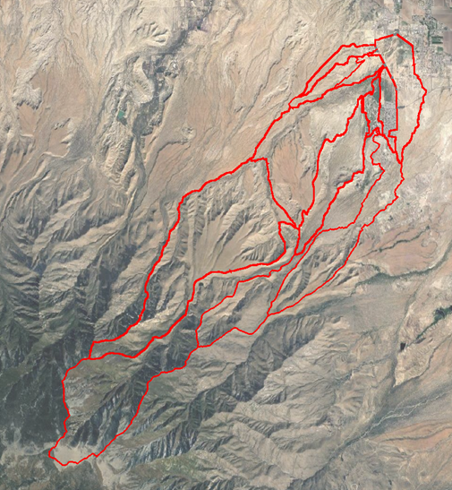
Hydrologic Study of Thatcher, AZ, Graham County AZ
W3 Engineering performed the hydrologic analysis of Spring Creek Canyon using the U.S. Army Corps of Engineer’s HEC-1 software. The watershed for this study originated from Mount Graham and had a drainage area of roughly 24.5 mi2 at Frye Creek Dam.
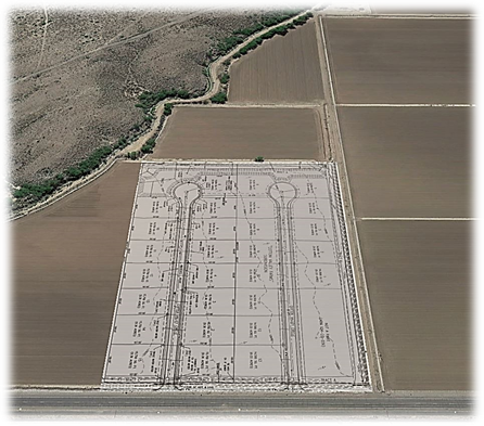
15 acre – Cotton Valley and Copper Valley Subdivision – Thatcher, AZ
W3 Engineering provided civil engineering services for 15-acre, 28-lot single-family residential subdivisions. Services included preliminary plat, utility design and coordination, final construction documents for water, sewer, roadways, grading and drainage, and final plat.
33 acre – Sandy Ridge Subdivision, Thatcher AZ
Sandy Creek Subdivision is a 33-acre, approximately 40-lot single-family residential development along Spring Canyon Creek. A portion of the proposed development is in Special Flood Hazard Zone AE and requires floodplain management flood hazard mitigation analysis. W3 Engineering currently providing civil engineering services that include CLOMR, elevation certificate, LOMR, preliminary plat, utility design and coordination, final construction documents for water, sewer, roadways, grading and drainage, and final plat.
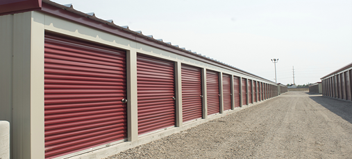
40 unit Storage Facilities, Thatcher AZ
W3 Engineering provided civil engineering services for 40 units storage facility in the Town of Thatcher, Arizona. Our services included paving and grading plans, and onsite retention design.
